Efficient water management requires the production of reliable and representative meteorological and hydrological data. For this, monitoring stations are installed, which can be equipped with sensors that allow continuous digital data collection at a very small time frequency; or punctual measurements are made, with a higher frequency given the need for time and logistic resources for it.
In arid and mountainous area, the temporal and spatial heterogeneity of the hydrometeorological variables and the complexity of the hydrological and hydrogeological processes require a more important amount of data, both spatially and temporally, to generate predictive hydrological and hydrogeological models. However, extreme weather conditions and access difficulty are a limitation to the production of data in these areas.
This is the case of northern Chile, one of the world driest areas and, nevertheless, with a population that is constantly increasing along with socioeconomic growth since the beginning of the large mining projects in the 1990s.
Since 2011, we work in the generation of meteorological and hydrological data in the Tarapacá Region, northern Chile. Particularly in the highest and most difficult areas, and where there are communities that need to understand the anthropic impacts that affect their ancestral way of life.
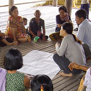
Through several tools (Installation of monitoring stations and sensors in remote areas, manual monitoring, participatory monitoring and use of local and ancestral knowledge), we managed to generate data on precipitation, flow, piezometric levels and water quality that allow us to characterize hydrological and hydrogeological processes in the catchment affected by climate change and large-scale mining activities.


